Technology
GNSS & IoT
Real-Time Kinematic positioning redefines accuracy standards across industries — from autonomous vehicles to centimetre-level surveying and precision agriculture.
Browse Articles View All NewsOverview
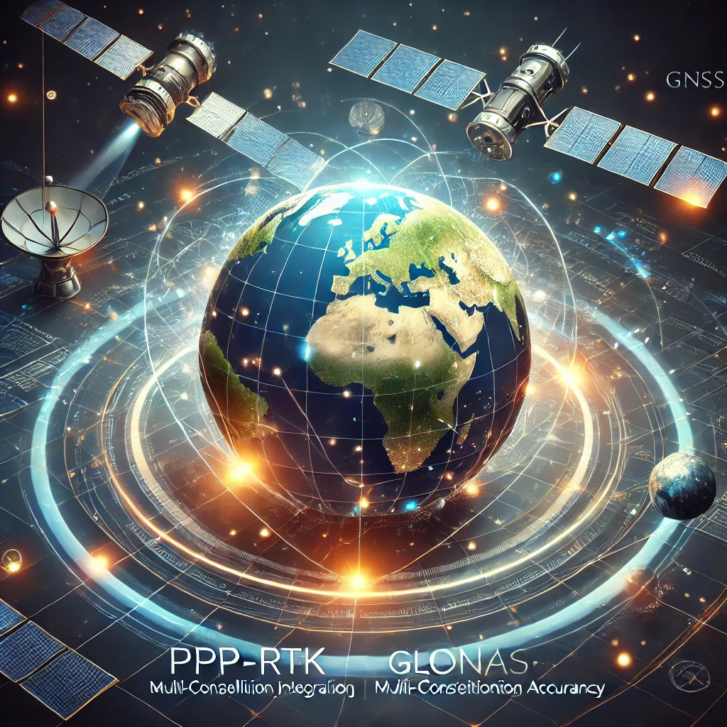
Global Navigation Satellite Systems
GNSS systems leverage satellite signals to provide real-time, centimetre or sub-centimetre accuracy across a wide range of applications — from precision surveying and construction to agriculture, autonomous robotics, and environmental monitoring.
Through multi-constellation integration — combining GPS, Galileo, GLONASS, and BeiDou — modern GNSS receivers achieve unprecedented reliability and accuracy. Paired with correction technologies such as RTK and PPP-RTK, these systems are transforming how industries interact with geospatial data.
Technology
Key Capabilities
RTK Positioning
Real-Time Kinematic corrections enabling centimetre-level positioning accuracy in real time.
Multi-Constellation
Simultaneous use of GPS, Galileo, GLONASS, and BeiDou for maximum availability and reliability.
PPP-RTK
Precise Point Positioning with fast convergence, combining global corrections with local accuracy.
AI & Geospatial
Artificial intelligence enhancing signal processing, outlier detection, and geospatial accuracy.
Core Technology
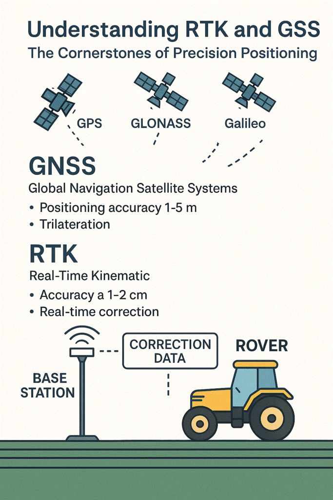
Real-Time Kinematic (RTK) Positioning
RTK is a satellite navigation technique that uses carrier-based ranging rather than code-based ranging to dramatically improve positioning accuracy. Where standard GNSS receivers achieve metre-level accuracy, RTK systems deliver centimetre-level precision — in real time.
The system works by pairing a roving receiver with a fixed base station (or a network of reference stations). The base broadcasts correction signals to the rover, eliminating common error sources including atmospheric delays and satellite clock drift. The result is precise, reliable positioning suitable for the most demanding applications.
Autonomous Vehicles
Lane-level navigation and path following for ground and aerial platforms.
Land Surveying
Rapid, high-accuracy data collection replacing traditional total station workflows.
Precision Agriculture
Guidance systems for planting, spraying, and harvesting at sub-centimetre accuracy.
Construction & Infrastructure
Machine control and quality inspection across civil engineering projects.
Standards
RTCM Correction Standards
The Radio Technical Commission for Maritime Services (RTCM) defines the correction message standards that underpin modern RTK and differential GNSS systems. RTCM messages carry the base station observations, satellite corrections, and network data that roving receivers use to achieve high-accuracy positioning.
RTCM SC-104 (Special Committee 104) maintains the standard, with RTCM 3.x widely adopted across the industry for its compact message structure and support for multi-constellation, multi-frequency data. Understanding the RTCM standard is fundamental to building and deploying professional GNSS correction infrastructure.
Use Cases
Applications
GNSS precision positioning technology underpins operations across a wide range of industries and research disciplines.
Surveying & Mapping
High-speed geospatial data collection for topographic surveys, boundary demarcation, and GIS applications.
Autonomous Robotics
Precision navigation for ground robots, drones, and autonomous vehicles operating in GPS-challenged environments.
Precision Agriculture
Automated guidance for tractors and field equipment with sub-centimetre repeatable accuracy across growing seasons.
Construction
Machine control, stakeout, and as-built verification across infrastructure, civil, and building projects.
Environmental Monitoring
Ground deformation, sea-level monitoring, and environmental change detection using continuous GNSS networks.
IoT & Connected Systems
Embedded GNSS modules feeding location data into IoT platforms for asset tracking, fleet management, and smart infrastructure.

In the Field
Measuring, Plotting and Mapping with GNSS
Beyond the theory, GNSS technology is most valuable when put to work in dynamic, real-world environments. From open agricultural fields to dense urban construction sites, PIXAM teams have deployed RTK-based systems to demonstrate how precision positioning integrates with modern workflows.
The practical application of GNSS — measuring, plotting, and mapping — showcases how these systems enable efficient, accurate geospatial data collection without the overhead of traditional surveying equipment.
Watch on YouTubeEditorial
GNSS & IoT Articles
DigInto covers GNSS technology in depth — from foundational concepts and correction standards to practical deployments and emerging developments. Explore the full archive of articles, analysis, and technical insights from the GNSS & IoT category.
Advancing precision. Enabling autonomy.
Explore robot builds, autonomous systems, and GNSS-powered platforms from PIXAM.
Robot Builds Visit PIXAM